About Us

Geomartins & Associate has
a rich corporate history in providing reliable and efficient services to her
clients.
This
surveying and consulting firm was incorporated in Lagos State in 2016. The firm
is equipped with the latest state of the art field and office survey equipment,
design software and communications technology to assure integrity and quality
results you can trust. This technology, combined with a depth of experience
usually found only in much larger firms, results in our clients receiving all
the benefits of using a large firm, with the personal attention to quality.Who We are.
We
offer a full range of construction and engineering surveying services
throughout Nigeria. Our company provides construction layout, topographic
surveys, mapping and volumetric surveys, building and structural layout for
residential and commercial applications, site plans, and as-built surveys. Our
experience with large-scale land development survey projects has earned us a
solid reputation within our community for quality work and dependable service.
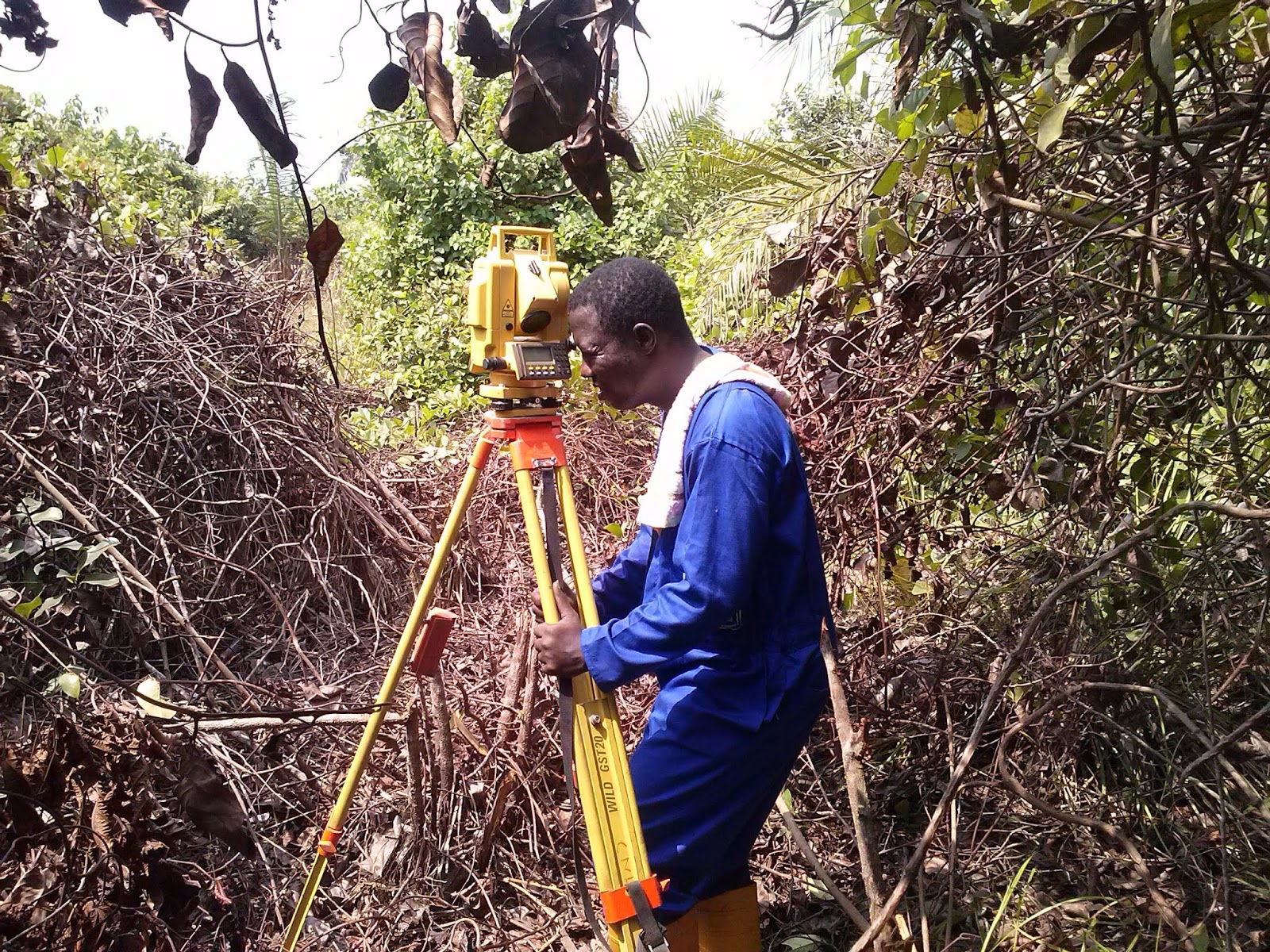
We utilize the most current survey technologies including
- Total Stations
- Real Time Kinematic (RTK) surveying
- Levelling Instrument
Our Team
Our Survey Team which
includes Registered Surveyors and Town Planners delivers Survey Engineering, Land Surveying and Mapping
services which include utility, pipeline, construction surveys, Land development
surveys, cadastral (legal) surveys, structural and deformation monitoring,
volume and quantity measurements, precise machinery alignment measurements and
many other Surveying and Town Planning services.
Our
Spatial Technology Team which includes geo-spatial scientists and
technologists-analyzes individual client’s spatial data requirements and
business processes, and develops GIS solutions to support those processes. We
focus on delivering enterprise-wide GIS solutions, including off-the-shelf
applications. Our specialists use the latest geo-spatial technologies to
collect, convert, process, model, and manage spatial data from a wide range of
sources, ensuring that each solution supports the client’s unique business
needs for spatial data collection, management, analysis, and reporting.Geomartins & Associate’s highly-trained and experienced field and office staff use the most current technologies to deliver Surveying services to our clients. With particular strengths in land surveying, Survey engineering, Remote Sensing, Aerial and satellite imagery, Geographic Information systems (GIS), Global Positioning System (GPS) technologies, Surveying, Engineering, Mapping, and Decision-support Products, and with a very strong commitment to quality and customer satisfaction, we are committed to maintaining our reputation for service excellence.


Comments
Post a Comment